The Mass Rapid Transit (MRT) is a premier high-capacity rail network designed for seamless travel across Greater Kuala Lumpur. The MRT currently consists of two primary lines: the Kajang Line and the Putrajaya Line. This is the ideal mode of transport if you are looking to commute from the outer suburbs or visit major landmarks and shopping districts that lie beyond the immediate city center.
Route Map
29 stations · Interchange stations shown with ring markers
36 stations · Interchange stations shown with ring markers
The Light Rail Transit (LRT) is one of the most commonly used public rail transport. The LRT is divided into two lines; Ampang/Sri Petaling and Kelana Jaya. This is the best means of transport if you are thinking of visiting places that aren't within walking distance of Kuala Lumpur city centre.
Route Map
39 stations · Interchange stations shown with ring markers
Shares Sentul Timur → Chan Sow Lin section with the Ampang Line
Shares Sentul Timur → Chan Sow Lin section with the Sri Petaling Line
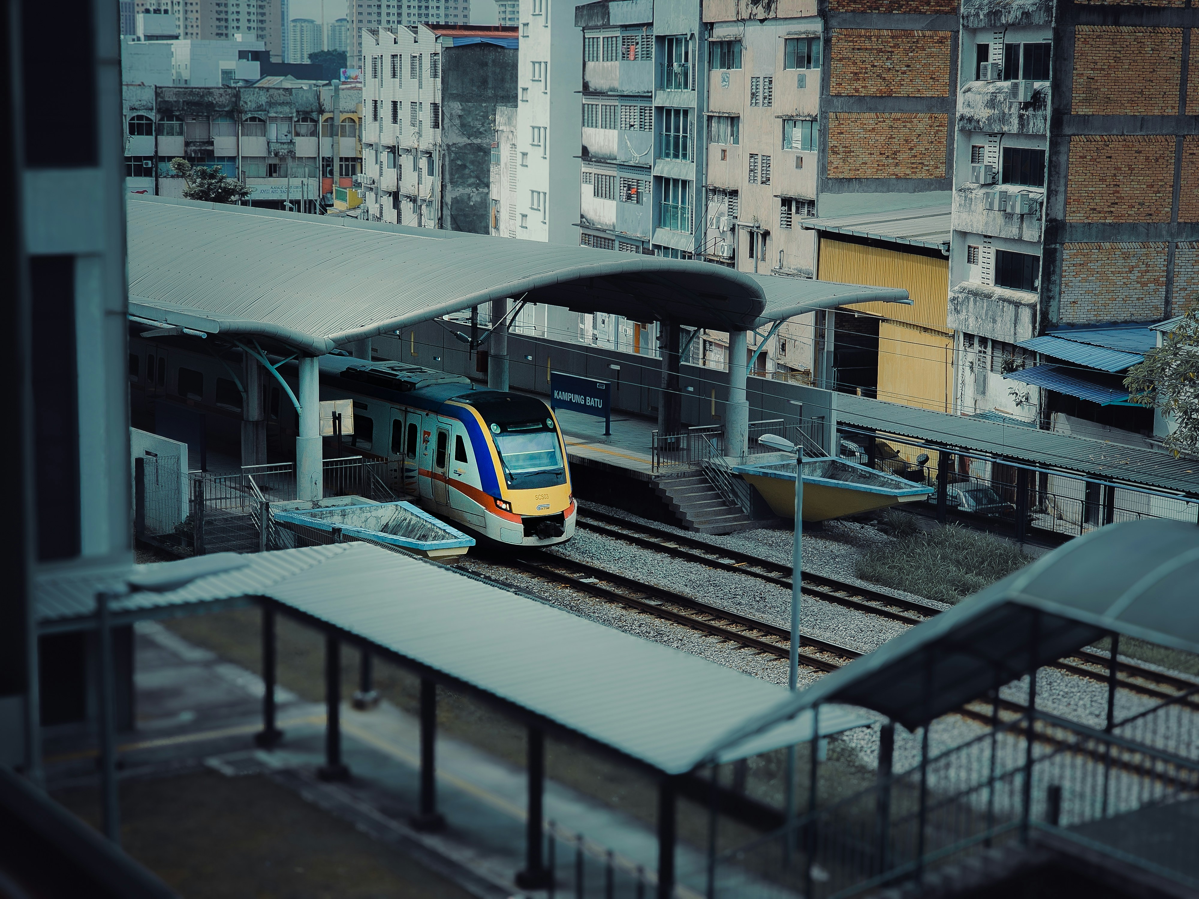
KTM Komuter is a suburban rail service running two lines across Greater Kuala Lumpur and beyond. It connects KL city centre with surrounding suburbs and towns, making it ideal for reaching areas further afield — including Batu Caves, Shah Alam, Klang, Kajang, and Seremban.
Route Map
27 stations · Interchange stations shown with ring markers
35 stations · Interchange stations shown with ring markers
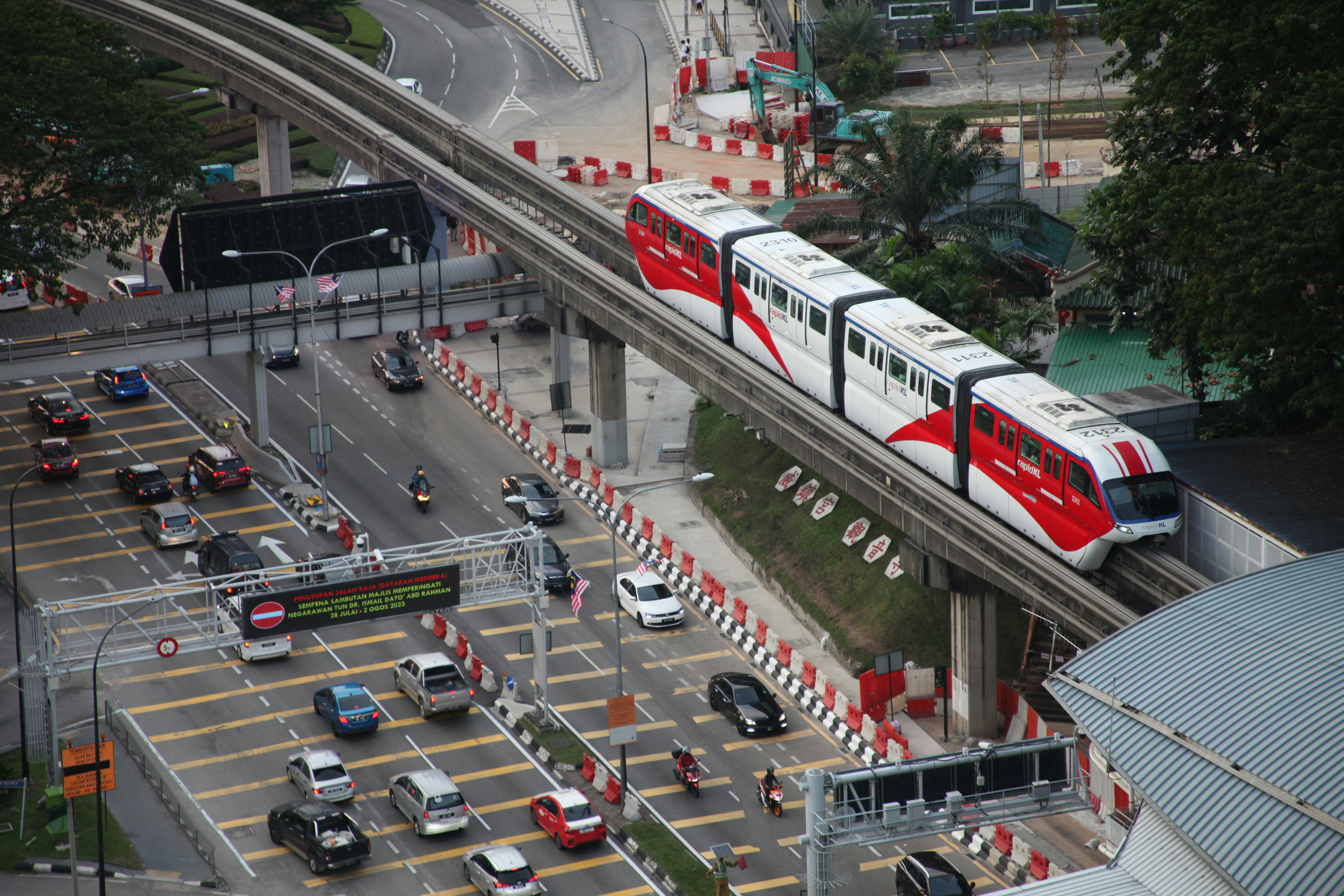
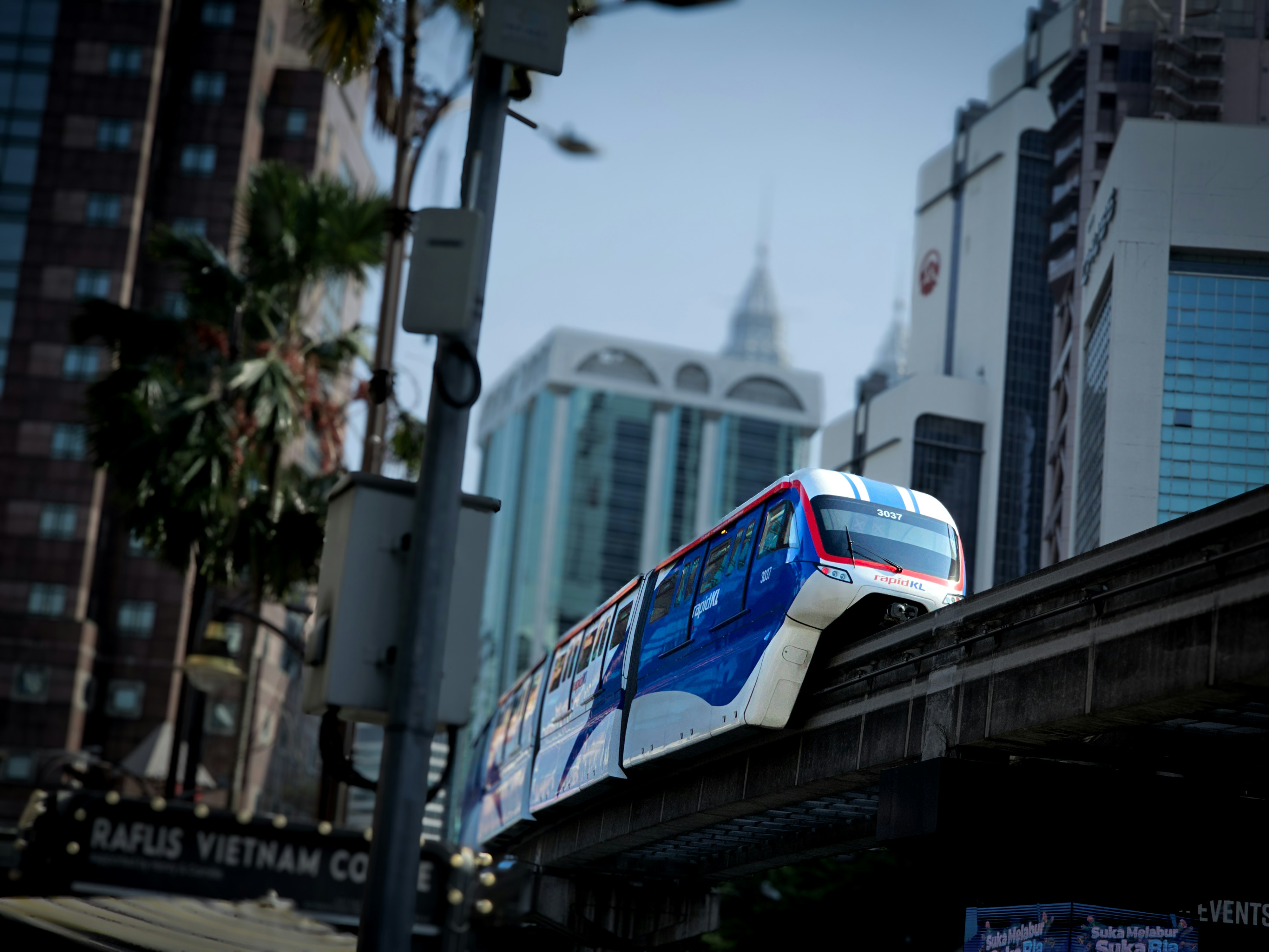
The KL Monorail is a single elevated line connecting KL Sentral to Titiwangsa, passing through the city's prime shopping and entertainment belt. It is the quickest way to reach Bukit Bintang, KLCC, and Brickfields from KL Sentral.
Route Map
11 stations · Interchange stations shown with ring markers
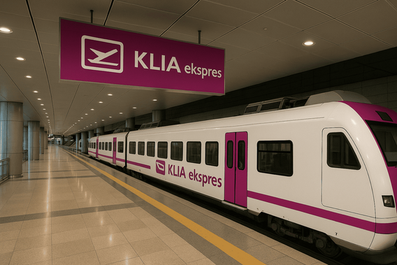
KLIA Express is a premium non-stop airport rail link connecting KL Sentral directly to Kuala Lumpur International Airport (KLIA Terminals 1 & 2) in about 33 minutes. It is the fastest way to travel between the city centre and the airport, running every 15–20 minutes throughout the day.
Route Map
3 stations · ~33 min one-way journey
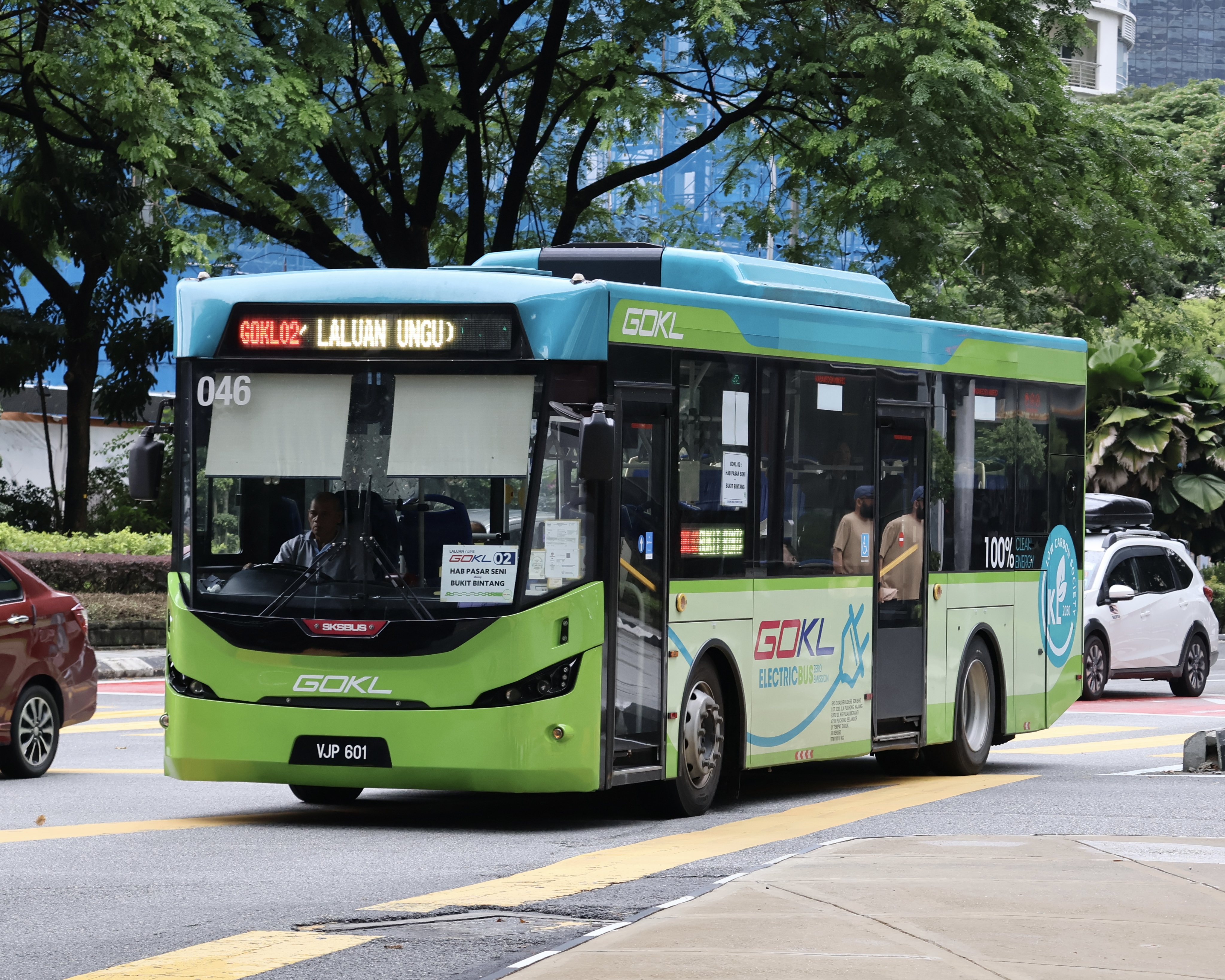
GoKL is a free city circulator bus service running across central Kuala Lumpur. It operates four colour-coded loops — Green, Purple, Red, and Blue — connecting major shopping, tourism, and transit hubs. Completely free for everyone, locals and visitors alike.
Route Map
Free service · Major stops shown · Check official site for full schedule
Free service · Major stops shown · Check official site for full schedule
Free service · Major stops shown · Check official site for full schedule
Free service · Major stops shown · Check official site for full schedule
The KL Hop on Hop off Bus is a tourist-friendly double-decker service running a circular route around Kuala Lumpur's most popular attractions. Buy a single ticket and ride all day — hop off at any of the stops to explore, then hop back on the next bus. Audio commentary in 8 languages on board.
Route Map
Buy a 24h or 48h ticket · Hop on/off freely at any stop · Stops may change seasonally
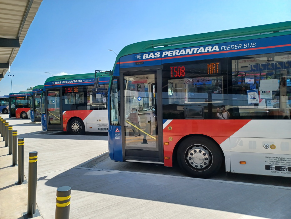
MRT Feeder Buses (T-routes) are short-distance connector buses that link MRT stations to nearby residential areas, malls, and business districts. They're designed for "first & last mile" connectivity — most useful if you're staying in a suburb and need to reach the nearest MRT station. Pay with Touch 'n Go or MyRapid card; rides are typically RM1.
Useful Routes for Visitors
Route numbers shown are illustrative — confirm current routes with the official Rapid KL journey planner.
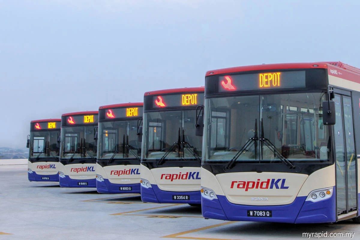
Rapid KL operates the largest bus network across Greater Kuala Lumpur, with over 170 routes spanning city centre, trunk, and local services. Buses are air-conditioned, frequent, and accept Touch 'n Go and MyRapid cards. Most single rides cost between RM1–RM3, with unlimited-travel My50 monthly passes also available.
Useful Routes for Visitors
Route numbers shown are illustrative — confirm current routes with the official Rapid KL journey planner.
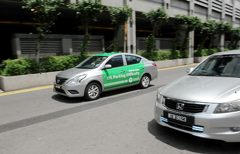
E-hailing (ride-hailing) is the easiest and most popular way to get around Kuala Lumpur. Instead of flagging down a taxi, you book a car through a smartphone app that shows the fare upfront, tracks your driver in real time, and lets you pay by card or cash. Several apps operate across KL and the Klang Valley — Grab is the biggest, but the others are often cheaper or let you set your own fare.
How E-Hailing Works
E-Hailing Apps in KL
Tip: Install at least two apps before you travel. Fares vary between them, and having a backup helps you find a ride faster during rain, rush hour, or peak demand.